Geography at Leicester
Facilities
Our facilities and equipment include:
Student study areas
Geography students have access to numerous study spaces on campus with WiFi and a relaxed seating areas. There are places for students to meet to discuss their work, access PC's, microscopes, view samples and have space to lay out maps.
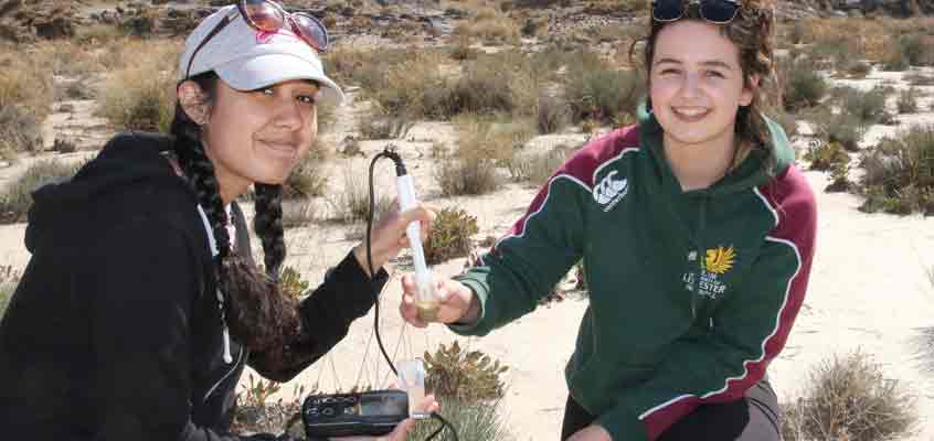
Equipment for fieldwork
We are well-stocked with a full range of equipment such as recording devices (loggers), digital cameras, pH kits, flowmeters, surveying equipment, soil temperature and moisture probes, etc. We also have a range of GPS equipment, including a differential unit capable of providing centimetre location accuracy. We have sets of handheld PDAs/iPhones/iPads/Microsoft Surface computers so that you can make and record measurements and view satellite data whilst in the field. In addition, we have interview recording and transcribing equipment.
Geography's Map collection has over 100,000 accessions. We have a number of eddy covariance flux towers and associated instruments that measure carbon, energy and water fluxes between vegetation and the atmosphere.
Computing facilities
Geography is well-equipped with high-specification computer facilities. The computers have specialist software for the analysis of geographical data (GIS), the analysis of satellite data (remote sensing) and modelling and visualisation of environmental data.
Palaeoecology Laboratory Equipment
A key approach to understanding long-term ecological and environmental change is the analysis of micro-fossils such as pollen, diatoms and ostracods. These are preserved in sedimentary deposits and peat bogs, and changes in their species composition and abundance allow us to interpret past (palaeo) environmental changes. Their analysis requires careful extraction from sediments and rocks.
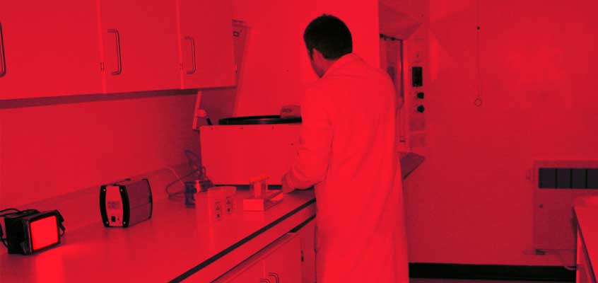
Geochronology Laboratory
The analysis of long-term landscape evolution and palaeoenvironmental change is predicated on the availability of reliable numerical dating ("geochronology"). We have a new laboratory, which focuses on the technique of optically-stimulated luminescence (OSL) dating. This, and the allied technique of thermoluminescence (TL) dating, allows us to estimate the time elapsed since sediments were last exposed to sunlight (burial duration) or heated (e.g. fired in a kiln). They provide chronological information relevant to both landform/landscape evolution and archaeological research over timescales of several decades to c.200,000 years.
Environmental Stable Isotope Laboratory
This is a state-of-the-art research laboratory dedicated to environmental stable isotope research. The facility is ideally suited for organic compound specific (biomarker) d13C and dD analyses. In addition to this, the facility is used for the determination of d13C, d15N, d18O and dD on bulk organic samples and the isotopic composition of carbonates, water and air. In addition, the laboratory houses a standalone quadruple GC/MS system for the identification of biomarkers in complex organic extracts. Several methods are available to analyse samples for their chemical composition, including an elemental analyser for C, N measurements (e.g. total organic carbon, nitrogen and C/N ratios).

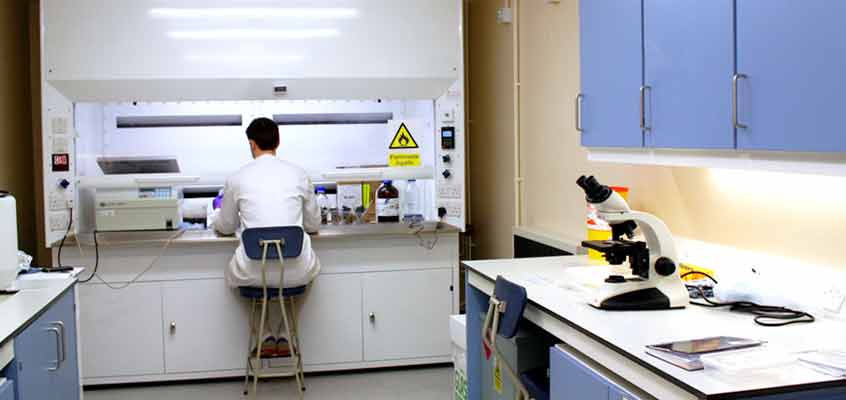
Microscopy Laboratory
Powerful light microscopes, electron microscopes for very high magnification and compositional analysis, and micro-FTIR system that analyses the compositions of samples underneath a microscope at very small sales. This is particularly useful for measuring microplastic pollution – an area of considerable international interest and concern at the present time.