Carbon Keepers project to create new carbon credits for farmers and landowners
Carbon Keepers, a green tech start-up, has signed up to the national SPRINT (Space Research and Innovation Network for Technology) business support programme to collaborate with the University of Leicester on new methodologies for carbon sequestration.
It is estimated that in the UK alone, over 500,000 tonnes of CO2 could be sequestered annually by hedgerows if they are simply allowed to grow. Hedgerows also offer vital biodiversity habitats and corridors as well as other vital eco services attracting premium carbon credits. High quality carbon credits are an important complementary tool to reduce and remove greenhouse gas emissions above and beyond what would otherwise be possible, and to direct investment towards climate-resilient development.
This project with the University of Leicester will be funded by the £7.5 million SPRINT programme. SPRINT provides unprecedented access to university space expertise and facilities. SPRINT helps businesses through the commercial exploitation of space data and technologies.
The SPRINT project will enable Carbon Keepers to create carbon credits for farmers and landowners through the development of a new proprietary Hedgerow Voluntary Carbon Credit Code. A carbon credit is a permit that allows the owner to emit a certain amount of carbon dioxide or other greenhouse gases.
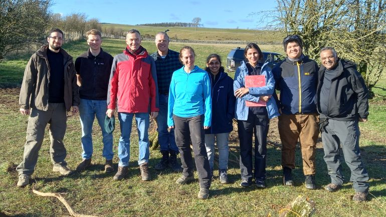
Supported by SPRINT, Carbon Keepers will access the University of Leicester’s remote sensing expertise to define new areas of carbon capture that can be monitored over time. The University’s Centre for Landscape and Climate Research (CLCR) will play a leading role in establishing a baseline of carbon emissions data and changes over the test period. Carbon Keepers is also partnering with Lowther Estates Trust and is using the latest LiDAR (light detection and ranging) data from Bluesky.
The project will use satellite remote sensing data from the Planet satellites to assess carbon stocks and sequestration potential in hedgerows. Ground measurements and airborne LiDAR (Light Detection and Ranging) data will be used for training and validation purposes.
Carbon Keepers has recently become a tenant at Space Park Leicester, a world-leading cluster for innovative research, enterprise and education in space and Earth observation.
Eduard Hempel, CEO and Founder of Carbon Keepers said: “Our goal is to build a system that can be combined with satellite, aerial and ground data that will accommodate different parameters for climate and geography. The carbon assets credits generated will be verifiable by all stakeholders as they can be viewed at any time on the Carbon Keepers platform. On the Carbon Keepers’ platform, landowners will be able to register their land assets and start new carbon sequestration projects using remote sensing technology to achieve verification and validation more efficiently in line with internationally accepted quality standards. The costs saved through the use of remote sensing will enable the incentivisation of significantly smaller environmentally positive projects than before.
“More importantly, Carbon Keepers are thrilled to be working with the University of Leicester and envision a long-term partnership with the University of Leicester where the University will lead academic partnerships and research projects in Asia, Africa and Europe over the next three years. Academic rigour, expertise and vocational education are all key to engaging communities to bring about a change in mindsets which will be essential if we are to meet the targets set out in the Paris Climate Agreement. Finally, we are very grateful to SPRINT without whose investment this important development would not have happened.”
Heiko Balzter, Professor of Physical Geography and Director of the Centre for Landscape and Climate Research at the University of Leicester added: “I am excited to work with Carbon Keepers on carbon stocks and fluxes in English hedgerows. We know a lot about forests and woodlands, but hedges are a forgotten carbon asset in the UK. We will assess how accurately we can map their carbon content from a combination of field survey, computer models and remote sensing data.”